Coalburn 2021 - Coalburn Road
This is part of a series of photographs of Coalburn and its surroundings taken by Geoff Brown on the 21st - 23rd July 2021.
This page shows Coalburn Road with its side roads Garden Street,Schoolhouse Avenue, Manse Drive, Dunn Crescent and School Road, There also photographs of the area between Coalburn Road and Bellfield Road
Coalburn Road
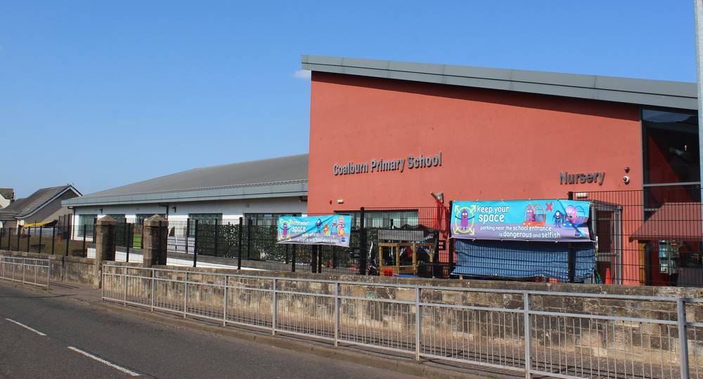
Coalburn Primary School

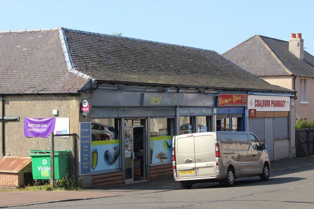
Row of shops opposite Miners Welfare Building (currently not in use)
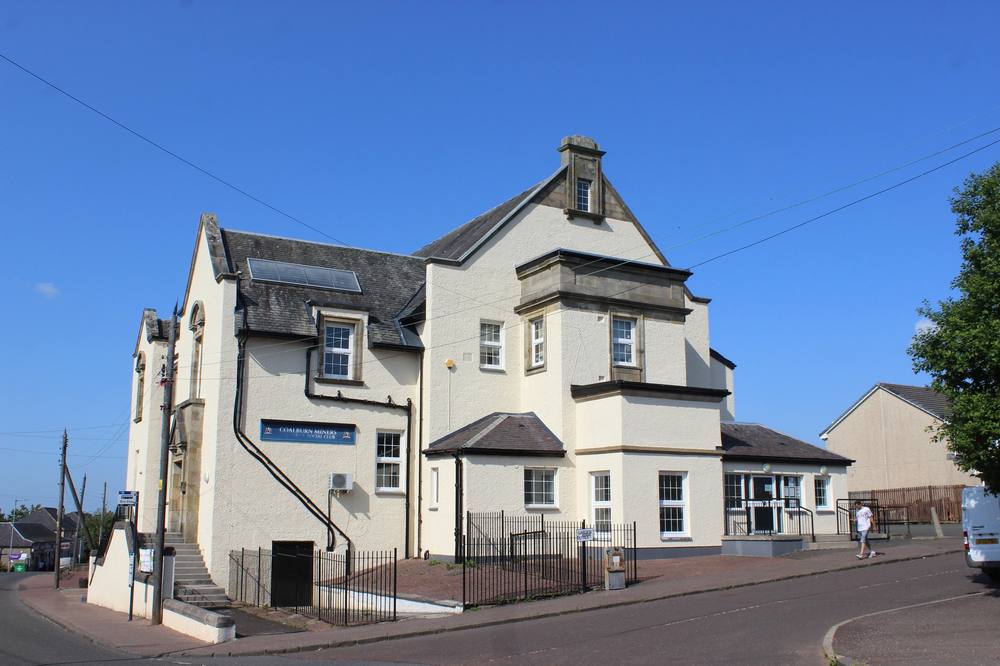
Coalburn Miners Welfare Building
Row of shops opposite Manse Drive
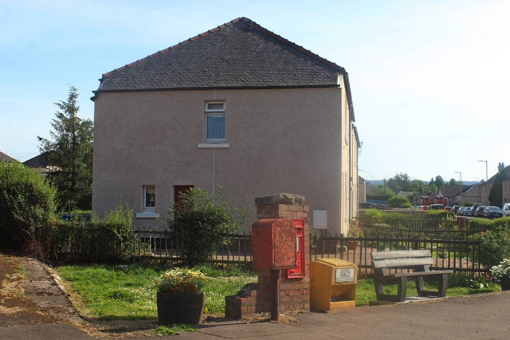
Postbox and garden at the end of Dunn Crescent
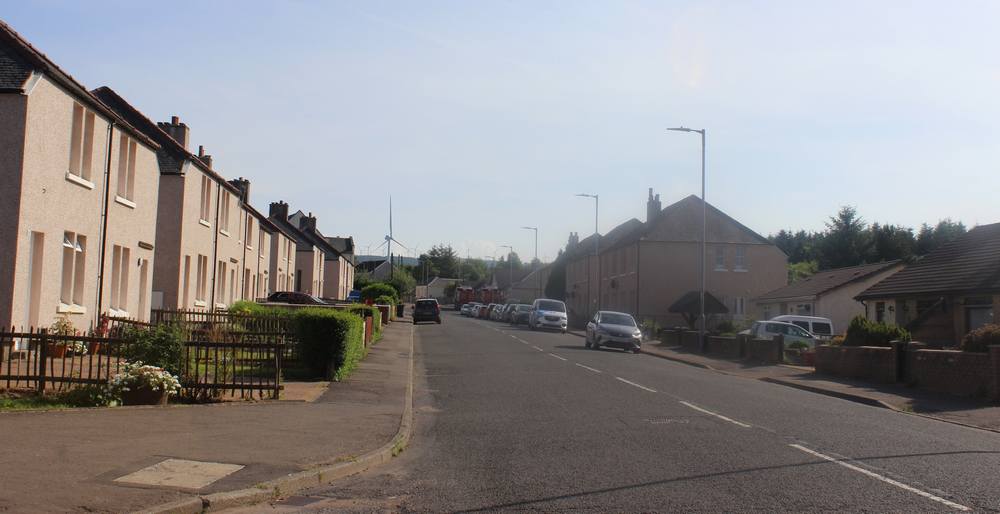
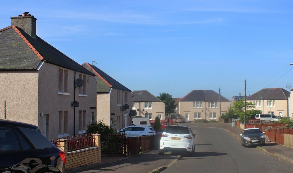
View up Coalburn Road from junction with Dunn Crescent
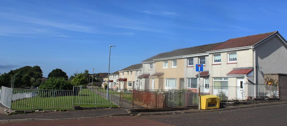
The houses in Coalburn Road facing Coalburn Village Green
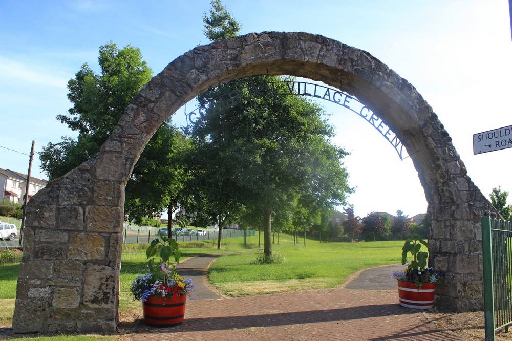
Entrance to Coalburn Village Green
Garden Street
View from Miners Welfare up Garden Street
View down Garden Street towards Miners Welfare
Schoolhouse Avenue
Schoolhouse Avenue is an incomplete road between Manse Drive and Garden Street
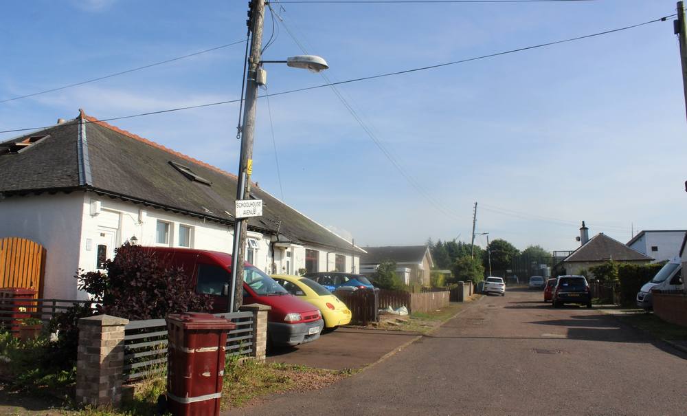
Schoolhouse Avenue looking towards Garden Street
Schoolhouse Avenue from Manse Drive
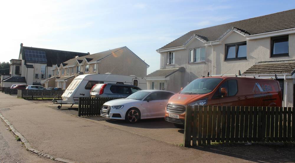
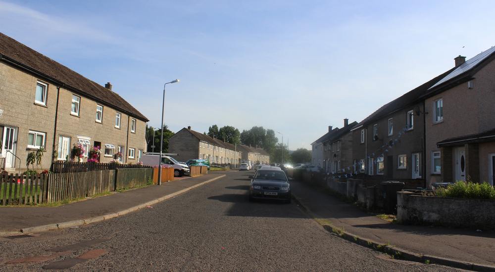
Manse Drive
View down Manse Drive. The Bowling Green is on the right.
Manse Drive
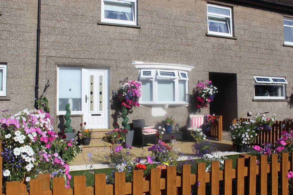
House in Manse Drive
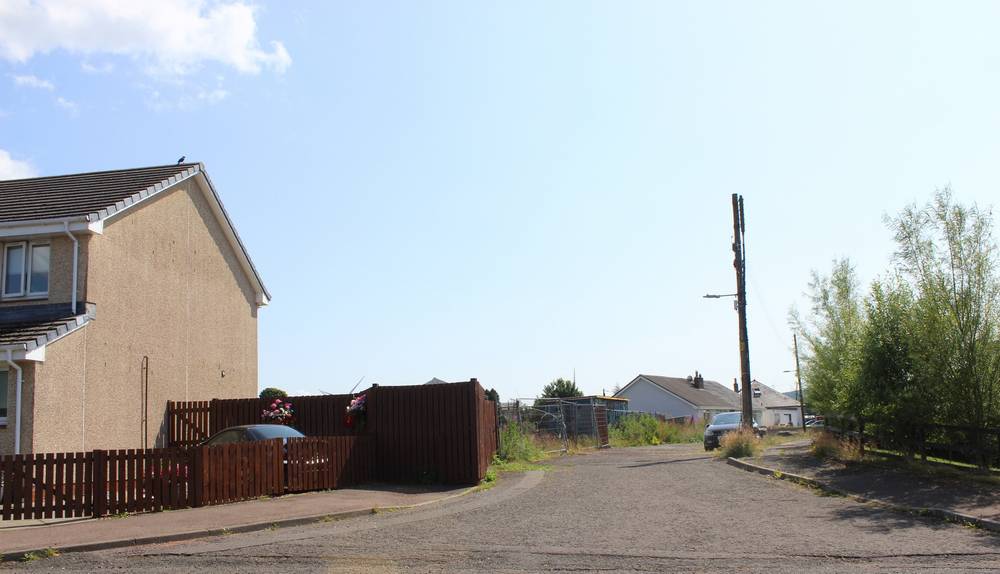
Burnside Place
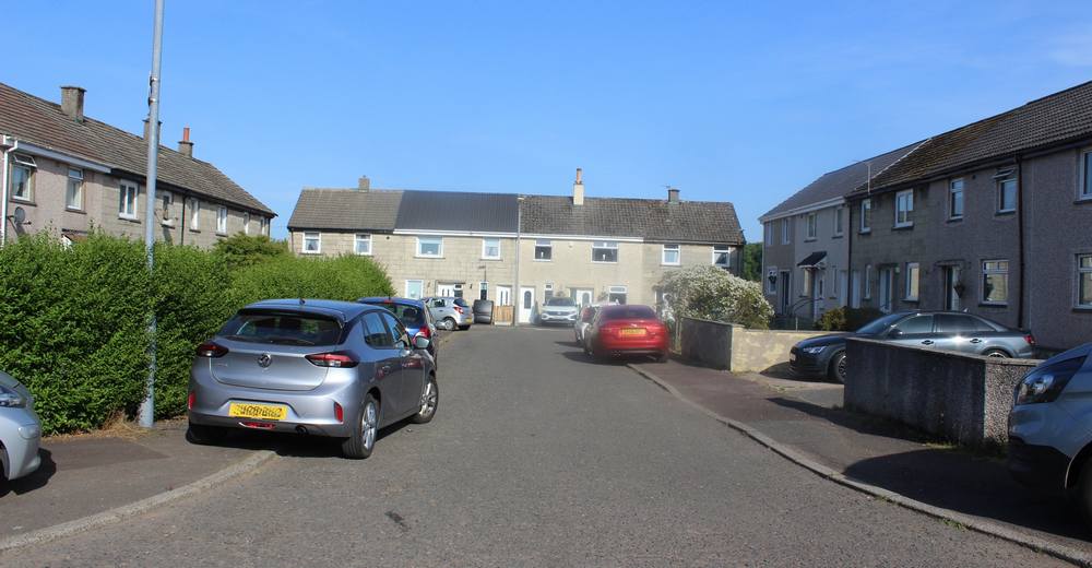
Dunn Crescent
Entrance to Dunn Crescent from Manse View
The bend in Dunn Crescent
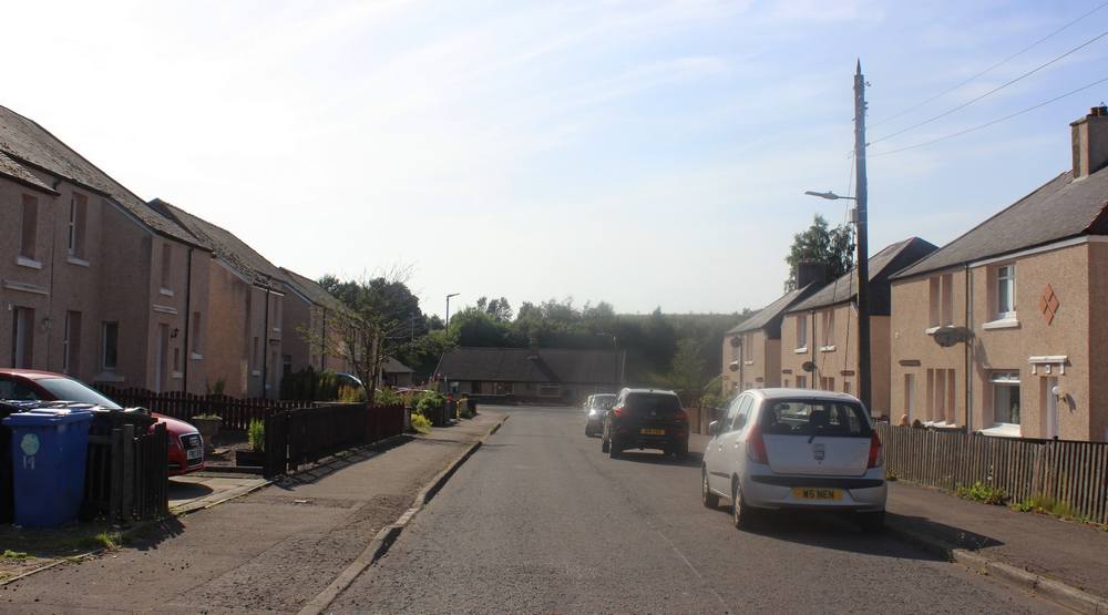
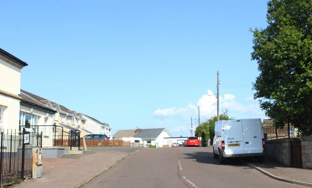
View down Dunn Crescent to Coalburn Road
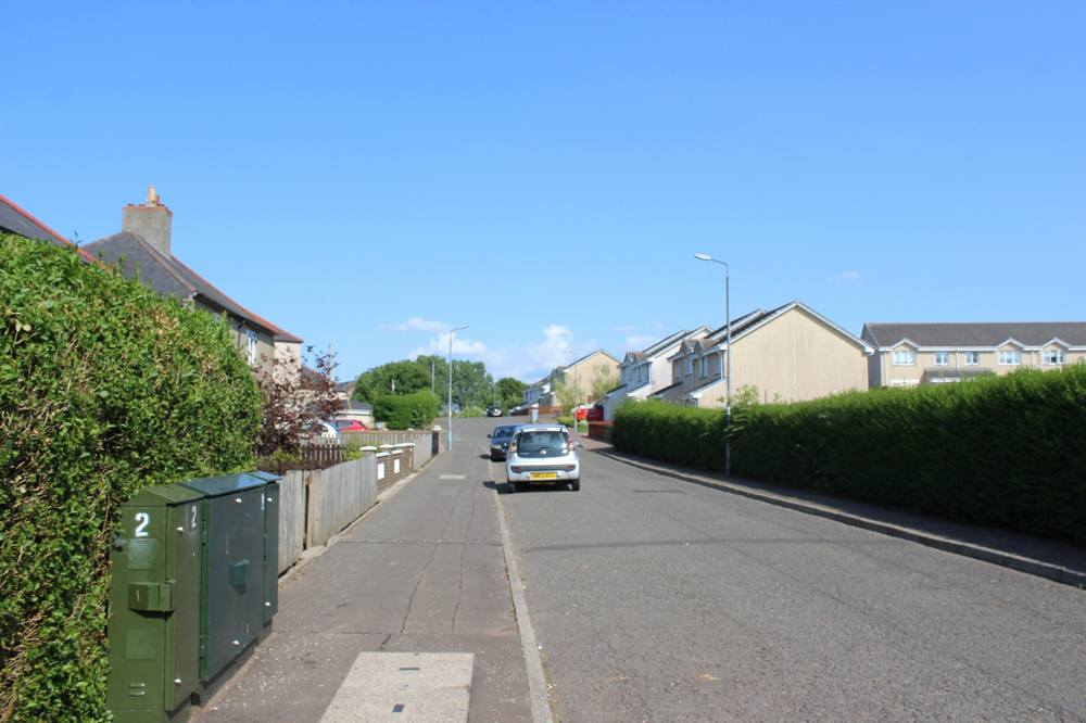
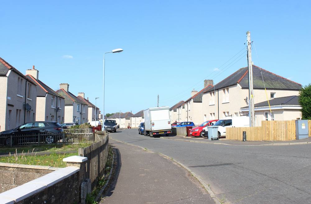
School Road
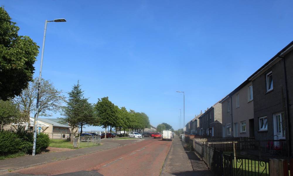
View up School Road. The Coalburn Leisure Centre is on the left.
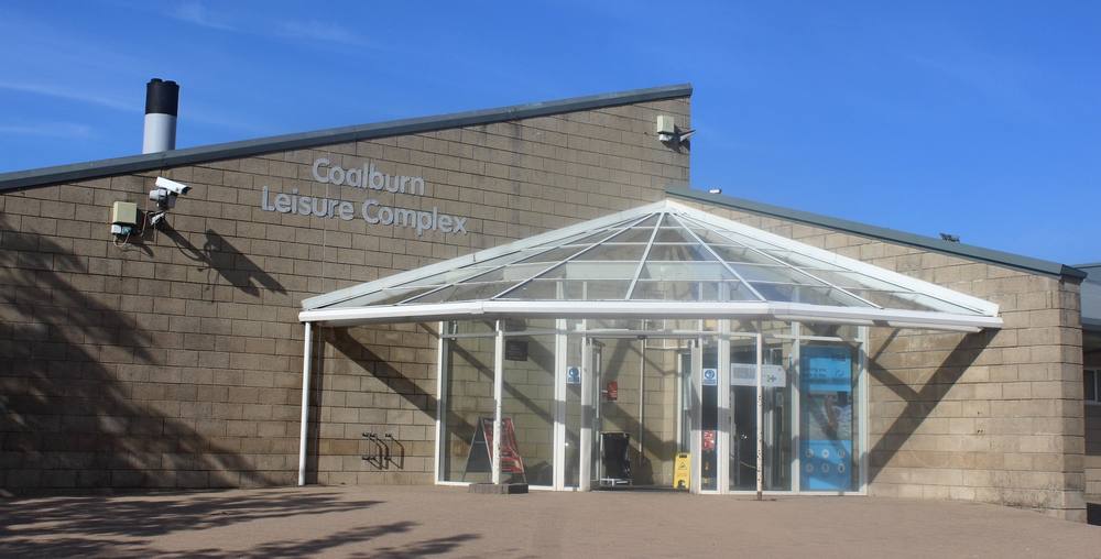
Coalburn Leisure Centre
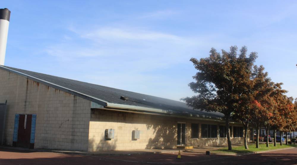
The road at the side of the Coalburn Leisure Centre
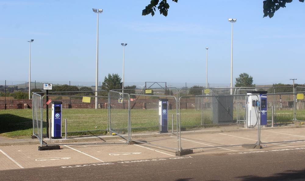
New charging points installed in the car park of Coalburn Leisure Centre
The area between Coalburn Road and Bellfield Road
This area has the former railway line (now a footpath), the Coal Burn and remnants of former mining (Bellfield Bing).
Braehead Road (off Bellfield (Road)
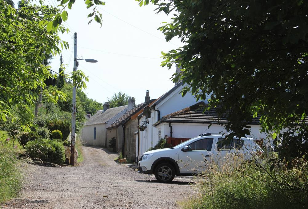
Cottages adjacent to the old railway line at the foot of Braehead Road
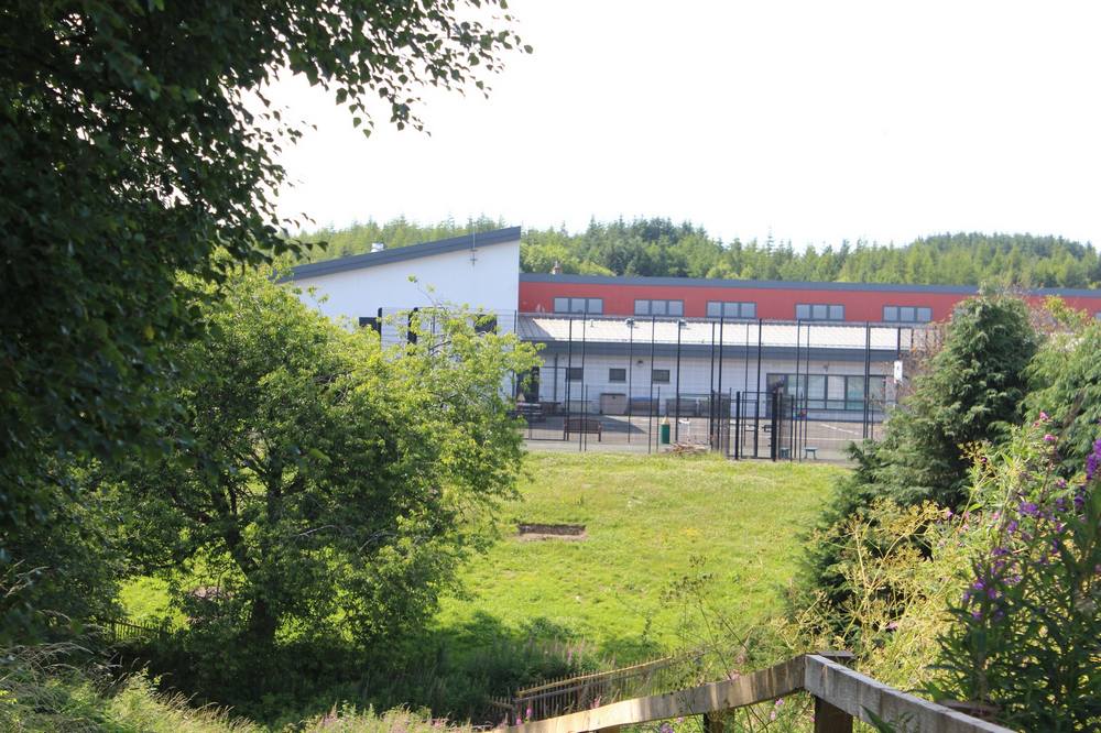
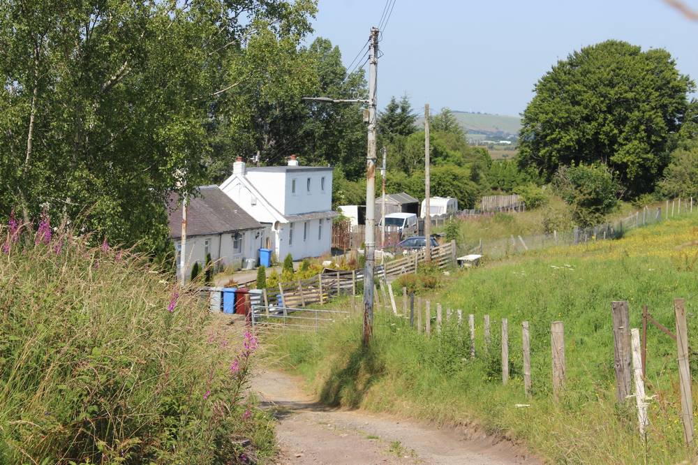
View from Braehead Road across the burn to the back of Coalburn Primary School
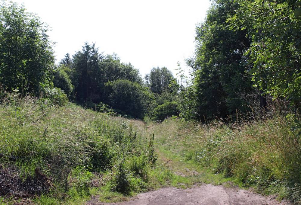
The footpath from the cottages across the former railway station area to Coalburn Road
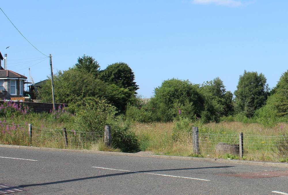
The end of the footpath as it reaches Coalburn Road
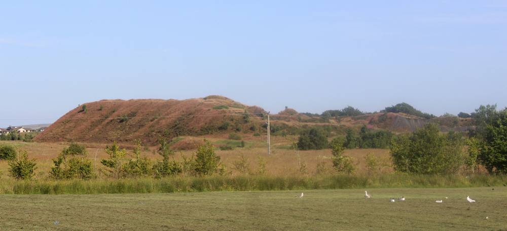
Bellfield Bing