Douglas Water
A series of images of Douglas Water, South Lanarkshire and its surroundings.
The village of Douglas Water (or Ponfeigh) in South Lanarkshire grew as a mining village for the local Douglas Colliery. It had a school, cinema, shops (including its own Co-op), junior football teams, a bowling green and its own railway station (Ponfeigh) with a branch to Douglas Colliery.
Mining subsidence around the mine resulted in many of the miners' rows having to be demolished in the 1950s. The colliery declined and was eventually closed in 1967 following a fire. It was knocked down along with 100s of houses.
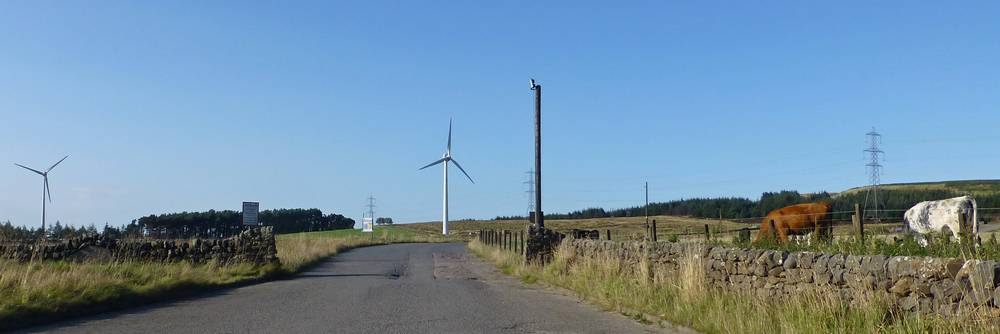
After the end of deep mining, open-cast mining started at nearby Broken Cross, but that has now ended.
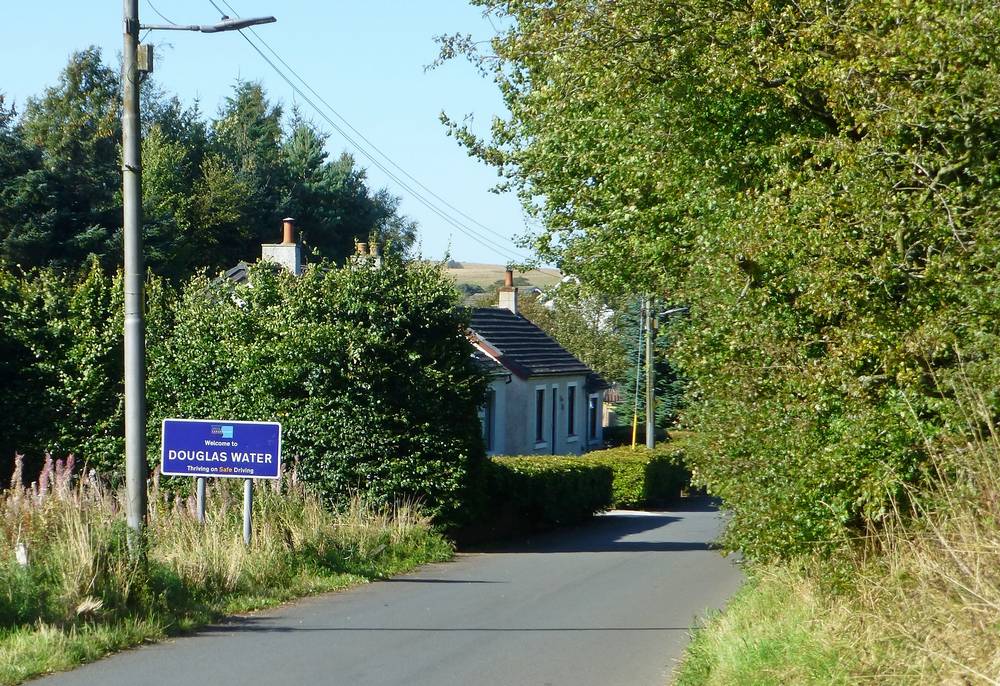
Welcome to Douglas Water from the South via Rigside. 21st September 2019.
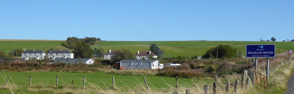
The village of Douglas Water with the Welcome sign from the North. The sign is currently redundant as you cannot reach the village as Ponfeigh Bridge is closed. 21st September 2019.
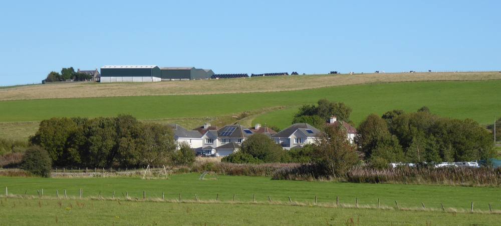
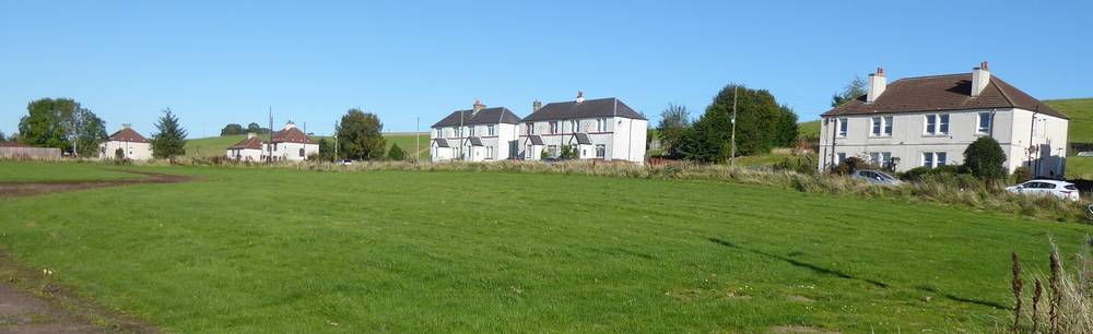
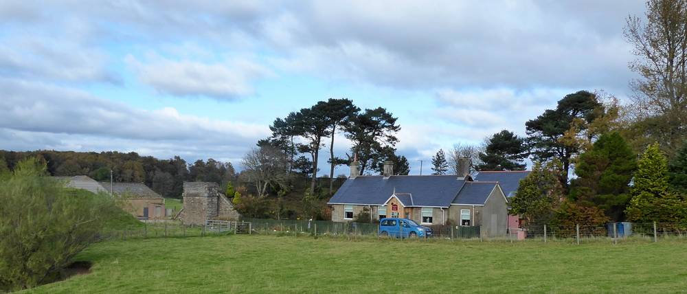
Another view of the village. 21st September 2019.
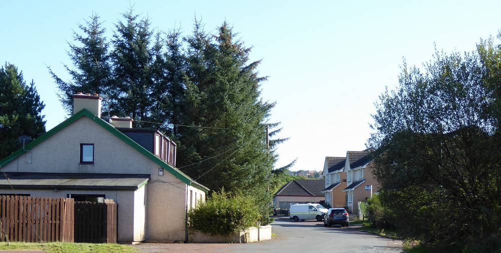
The junction of Rigside Road and Salisbury Place. 21st September 2019.
Macauslan Terrace, Douglas Water. 21st September 2019.
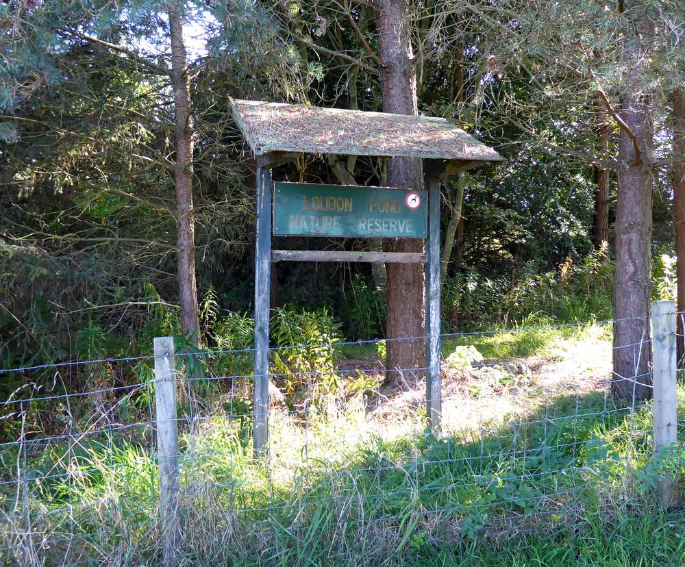
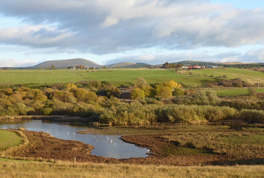
Loudon Pond Nature Reserve. Date of Photo: 21st September 2019
This was the site of the former Douglas Colliery and its nearest housing scheme. The mine workings were flooded and linked up with Douglas Water to form a wide pond. The Loudon Pond and Ponfeigh Glen Association was formed to improve and nuture this area. .
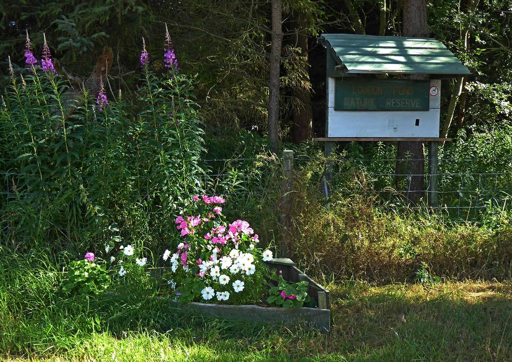
Loudon Pond Nature Reserve - on this occasion flower planters had been added to either side of the entrance. Date of Photo: 1st August 2021
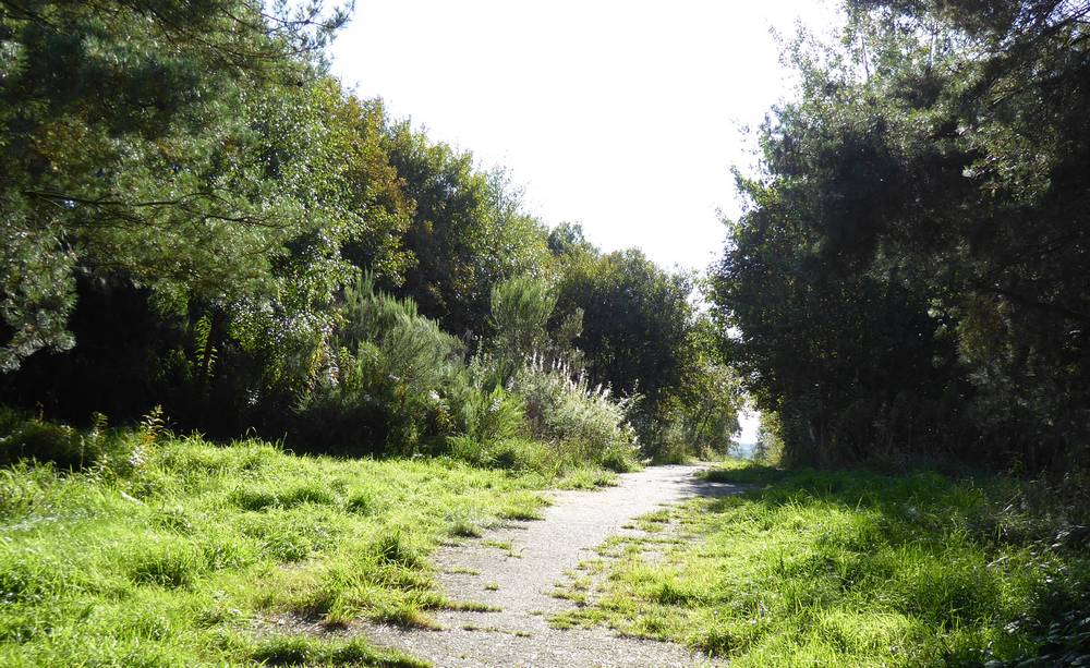
Access path to Loudon Pond Nature Reserve. This was formerly Carmichael Street, the road of miners rows that lead to Douglas Colliery. Date of photo: 21st September 2019
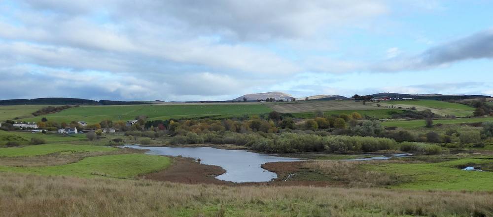
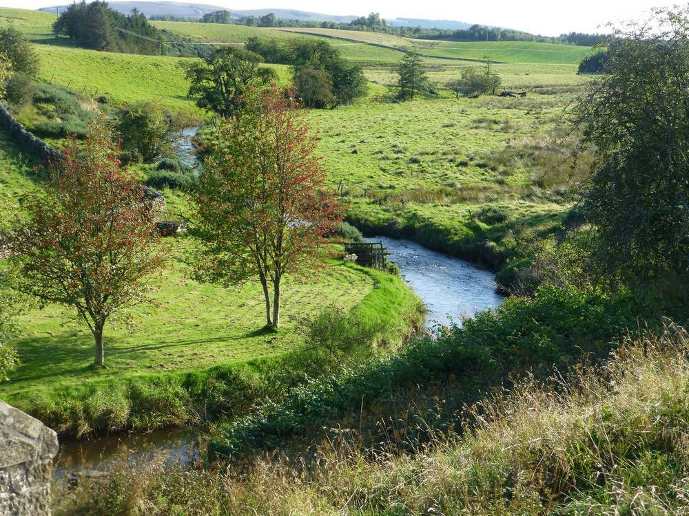
Douglas Water and Loudon Pond Nature Reserve. Photographed from Eastertown Road. Date of photo: 20th October 2019
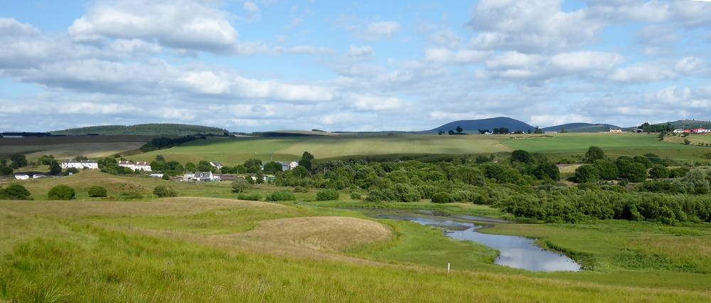
Same location in 2021. There had been very little rain in recent times. Date of photo: 1st August 2021
Loudoun Water in Nov 2021. Date of photo: 4th November 2021
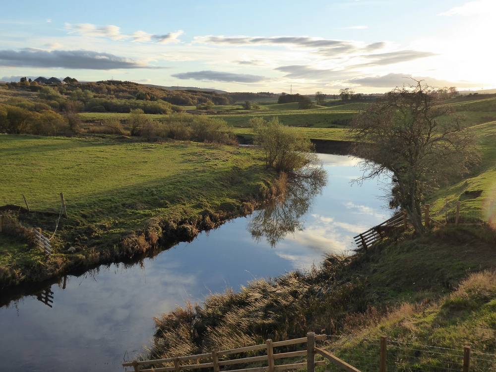
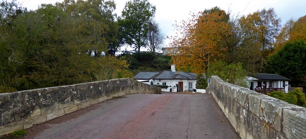
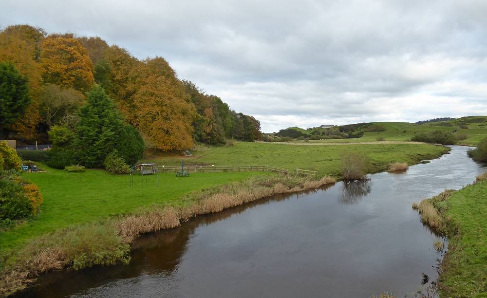
Douglas Water from Ponfeigh Bridge. Date of photo: 4th November 2021
Ponfeigh Bridge
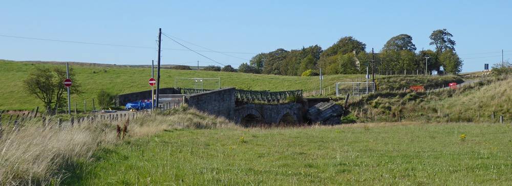
Ponfeigh Bridge over the river Douglas Water. It was declared unsafe and closed in April 2016. South Lanarkshire Council had agreed funds to have a new steel bridge built which was expected to be completed in 2020/21. Date of photo: 21st September 2019. Apparently, work started on the new bridge in the week after this photo was taken.
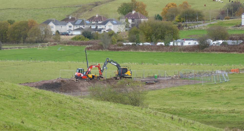
View of state of work on Ponfeigh Bridge on 20th October 2019.
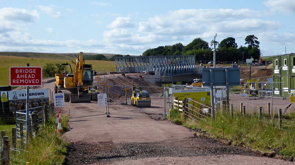
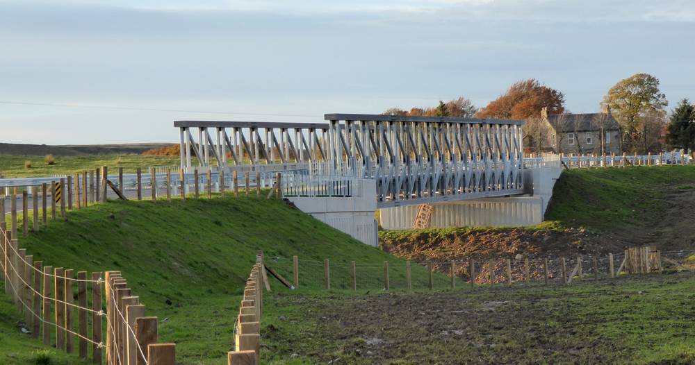
Ponfeigh Bridge in 2021 with bridge span now installed. 1st August 2021.
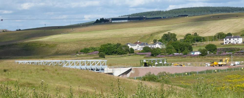
Ponfeigh Bridge in 2021 with bridge span now installed - not very complete view from Eastertown Road. 1st August 2021.
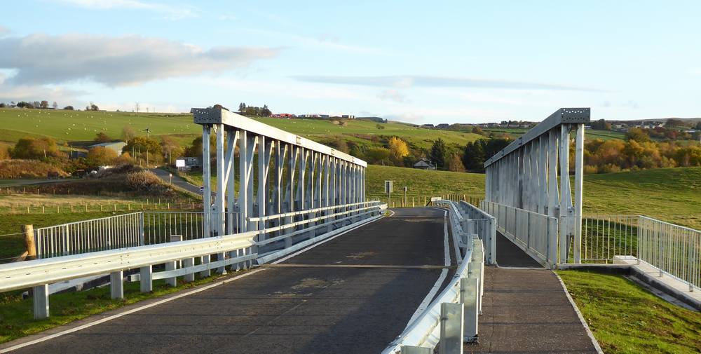
The new Ponfeigh Bridge in Douglas Water, opened in September 2021. It combines a road bridge and a pedestrian bridge. Date of photo: 4th November 2021.
The new Ponfeigh Bridge - view from village side. Date of photo: 4th November 2021.
Folkerton Mill
Folkerton Mill is a grade B listed grain mill with the current stone buildings dating from 1871. It was still being worked in the 1970s. The current owners are preserving much of its content and are using the mill as a rather different Wedding venue.. Activities are also described on a Facebook page.
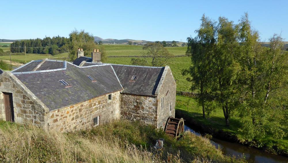
Folkerton Mill. 21st September 2019.
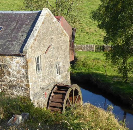
Closer view of water wheel. 21st September 2019.

Sign at entrance gate. 21st September 2019
Poniel Water at Folkerton Mill. 21st September 2019
Broken Cross
Broken Cross was an open cast mine on top of a hill and left a scarred landscape when mining came to an end. The area is being developed for alternative use including wind generation, warehousing and open storage areas. Currently it is being used by Wren Kitchens as a distribution centre and Blackwell Plant for storage of plant vehicles. The site has convenient access to and from the M74 at Junction 11 and is being marketed together with Poniel and Happendon for business development.
Entrance to Broken Cross site. 21st September 2019
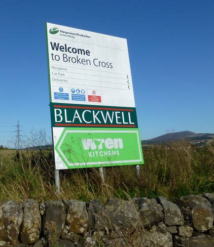
Sign at entrance. 21st September 2019.
Sandilands
Sandilands is a hamlet east of Douglas Water and had a station on the Douglas to Lanark railway line. It has the last bridge over the river Douglas Water before it joins up with the Clyde.
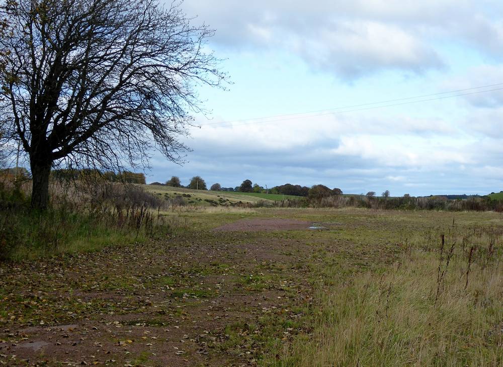
Road into Sandilands from the A70 beyond Rigside. 20th October 2019
The site of the former Sandilands railway station.
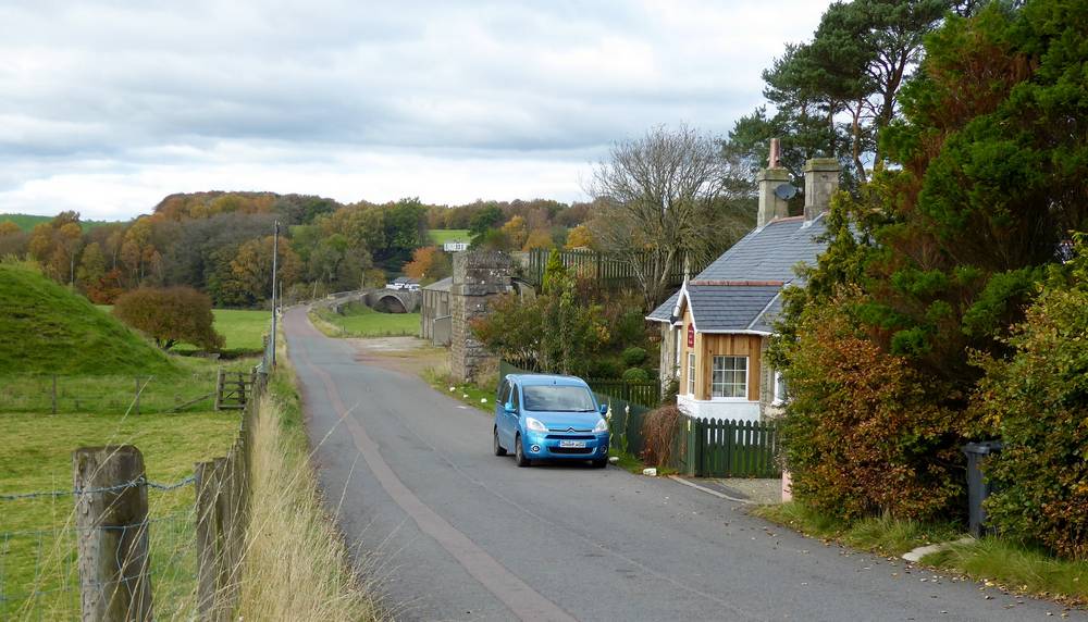
The embankment on the left and the buttress on the right of the road supported a bridge carrying the line into Sandilands Station to the right of the cottage. The cottage, now Station House, dates from 1856 and was the stationmaster´s house. It is now a B & B. Douglasmouth Bridge can be seen in the distance. Date of photos: 20th October 2019
The site of Sandilands Station Yard behind Station House. Date of photo: 20th October 2019
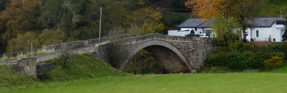
Douglasmouth Bridge and white cottage beyond. Date of photo: 20th October 2019
View over bridge to white cottage. Date of photo: 20th October 2019
Douglas Water downstream from the bridge. This joins up with the Clyde just out of sight of this photo. Date of photo: 20th October 2019